.CXTF 文件扩展名

Coordinates Exchange Text-Format File

开发者 Stefan Gies
受欢迎程度
2.0  |  1 
 

什么是 CXTF 文件?

A CXTF file is a vector graphics file saved in the Coordinates Exchange Text-Format (CXTF). It stores coordinate-based drawings made up of points, lines, polygons, curves, text, symbols, layers, colors, and other objects. CXTF files typically represent maps, technical drawings, or scientific graphics and are saved in a plain-text format, making the data easy for compatible applications and developers to read and process.

更多信息

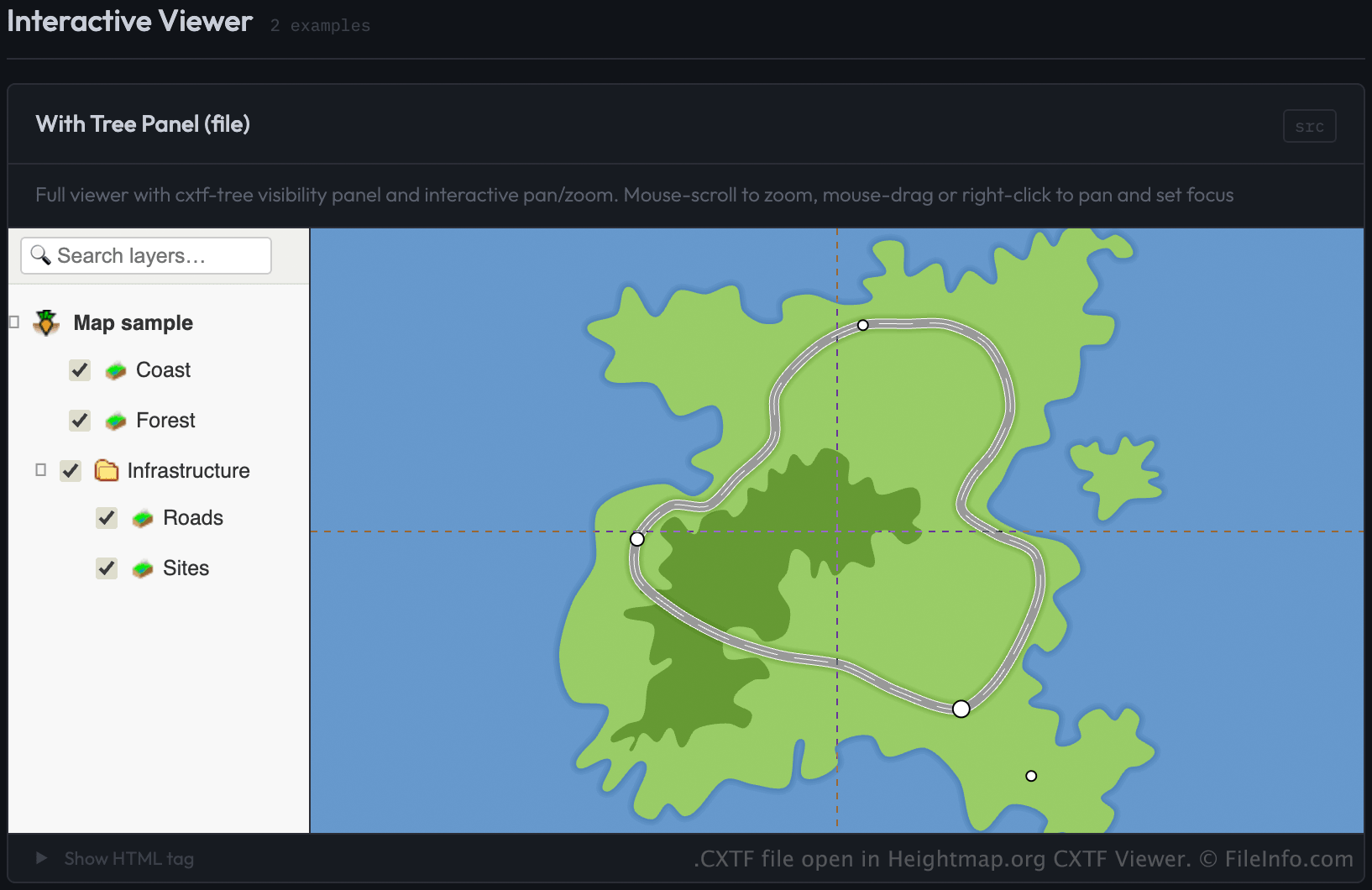
在 Heightmap.org CXTF Viewer 中打开的 .cxtf 文件截图
在 Heightmap.org CXTF Viewer 中打开的 CXTF 文件

Stefan Gies developed CXTF as an open, platform-independent format for sharing vector graphics while keeping the data easy to read and edit. Cartographers, GIS professionals, engineers, scientists, and software developers may use CXTF files to exchange coordinate-based graphics between compatible tools.

Unlike many vector formats that store data in binary form, CXTF uses a structured text syntax with one command per line. This approach allows developers to process files programmatically, track changes in version control systems, and inspect or modify their contents with a text editor when needed.

CXTF organizes graphical objects into a hierarchical structure that supports groups, layers, and shared elements. The format supports both 2D and 3D coordinate data, along with styling information such as colors, gradients, line styles, and text formatting. External resources, such as images, can be referenced from a CXTF file or packaged together in a companion .CXZIP archive for easier distribution.

如何打开 CXTF 文件

You can open CXTF files with the CXTF Viewer from Heightmap.org by loading the file through a webpage that uses the CXTF viewer component. The viewer displays the coordinate-based graphics in a web browser.

Developers can load CXTF files in the viewer by specifying the file as the source (src) of a element in a webpage. For example:

<cxtf-view src="examples/map.cxtf"
            width="720"
            height="360"
            centered="true"
            interactive="true"></cxtf-view>

Since CXTF files are saved as plain text, you can also view their contents with a text editor, although a CXTF-compatible viewer is required to display the graphics correctly.

使用File Viewer Plus打开 400 多种文件格式。免费下载

可打开 CXTF 文件的程序

验证者 FileInfo.com

FileInfo.com 团队 独立研究了本页面列出的 Coordinates Exchange Text-Format 文件格式和 应用。 我们的目标是达到 100% 的准确率,并且仅发布我们已验证过的文件类型信息。

如果您想为此页面提出新增或更新建议,请告诉我们