

.PYT ファイル拡張子
Pythonツールボックス
| 開発元 | ESRI |
| 人気度 |
3.5 | 2 票 |
PYTファイルとは?
PYTファイルは、ESRI ArcGISで作成されたPythonツールボックスです。Pythonコードで記述されたジオプロセシングツールが含まれています。地理分析者やその他のArcGISユーザーは、ArcGISでマップやその他のデータを確認しながらGIS操作を実行するために、PYTファイルを使用します。
詳細情報
ESRI ArcGISは、ユーザーが地理データをインポート、編集、注釈付け、分析したり、その他の方法で操作したりできるマッピングおよび地理分析アプリケーションです。データを操作するために、ArcGISユーザーは、関連するGISツールのコレクションを含むツールボックスにアクセスして作成できます。上級ユーザーは、Pythonプログラミング言語を使用して独自のツールボックスやカスタムツールをコーディングできます。これらのツールボックスはPYTファイルとして保存されます。
ArcGISでPYTファイルを作成する方法
ArcGISで新しいPYTファイルを作成するには:
- カタログウィンドウでを選択します。
- を選択します。
- PYTファイルに名前を付けて保存します。
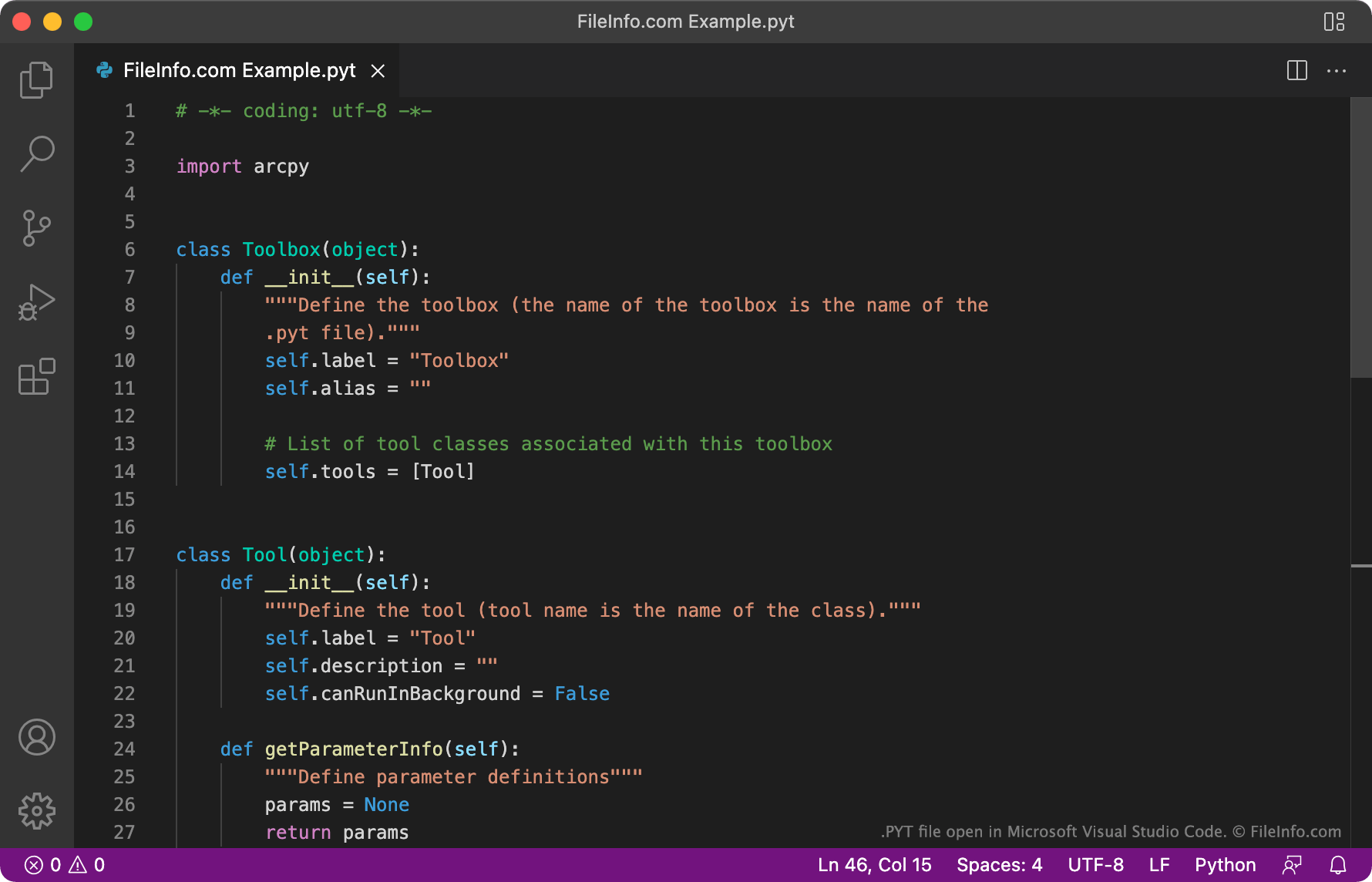
各PYTファイルは同じテンプレートから作成されます。このテンプレートでは、ToolboxクラスとToolクラスを使用して、ツールボックスの名前と含まれるツールを定義します。Toolクラスのインスタンスを追加することで、ユーザーはPYTファイルに任意の数のツールを追加できます。
PYTファイルの開き方
PYTファイルは、テキストエディターまたはソースコードエディターで開いて編集できます。Microsoft Visual Studio Code、GitHub Atom、JetBrains PyCharmなどのソースコードエディターには、PYTファイルの確認や編集を容易にする、便利な構文の強調表示機能やコード編集ツールが備わっています。
PYTファイルをESRI ArcGISにインポートするには、ArcGISで新しいPythonツールボックスを作成します(上記の手順を使用)。次に、PYTファイルの内容を新しいPythonツールボックスにコピーし、そのツールボックスを保存します。