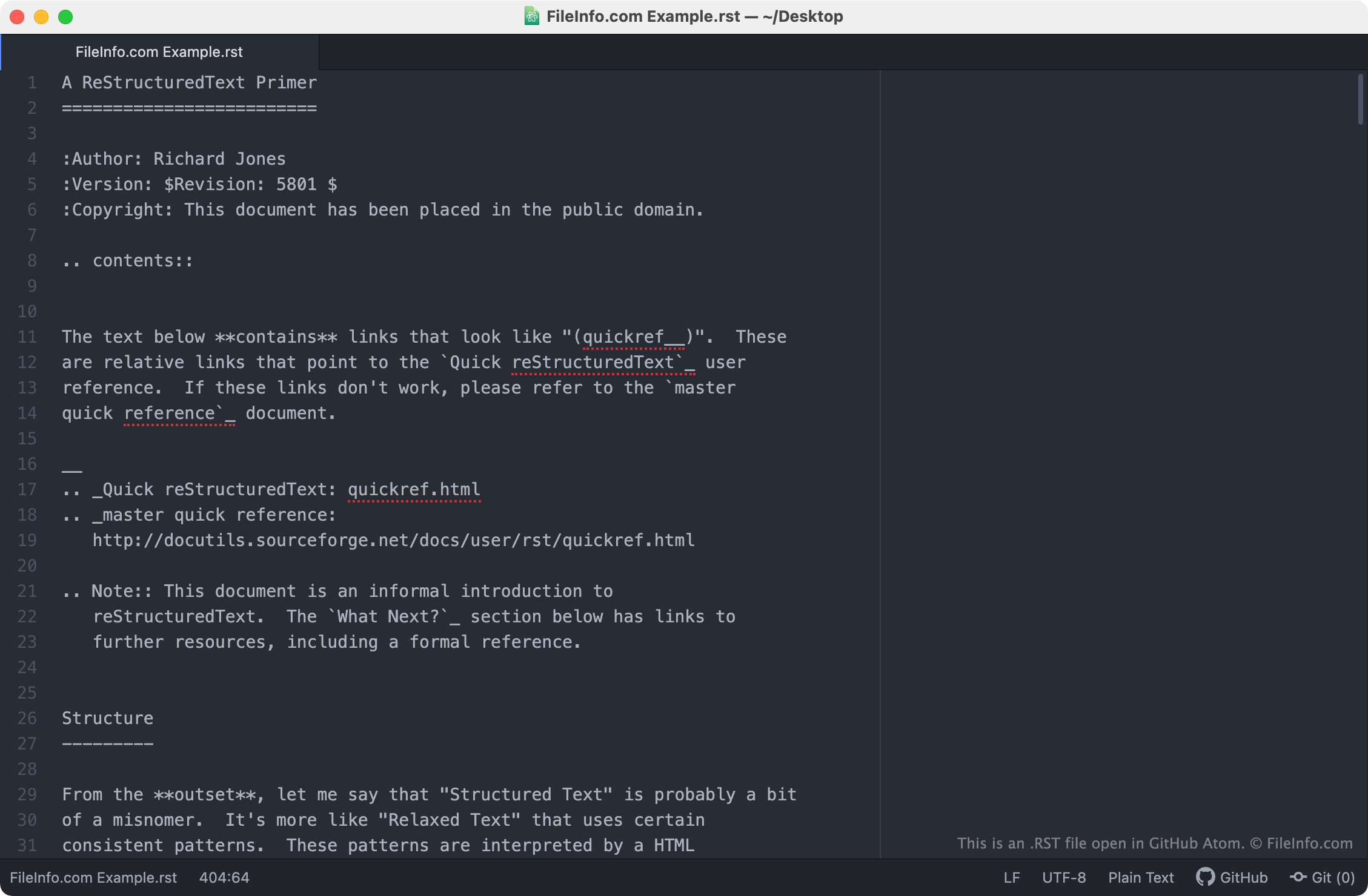
.RST 文件扩展名
reStructuredText File
| 开发者 | David Goodger |
| 受欢迎程度 |
3.6 | 39 票 |
什么是 RST 文件?
An RST file is a text file that contains code written in the reStructuredText markup language. reStructuredText is used to apply basic styles and formatting to plain text documents. RST files most commonly contain technical documentation for Python programs, though they may also contain text that is meant to be converted into an eBook, simple webpage, or other document.
更多信息
reStructuredText is a file format and markup language that software developers and technical writers use to produce technical documentation for Python-based software programs. When processed using the Python Docutils tool or another documentation-processing program, the markup symbols that reStructuredText (RST) files contain are transformed into text formatting.
For example, to add a bulleted list to an RST file, an author would write the following:
- Bulleted list item
When processed by a documentation-processing program, the above text would be shown as:
- Bulleted list item
RST files can also contain symbols used to indicate that text should be bolded (** **), italicized (* *), or transformed into a section header (=====) or sub-header (-----). They may also include links to images and URLs.
如何打开 RST 文件
Because RST files are plain text files, you can open and edit them in any text editor, including:
- GitHub Atom (cross-platform)
- GNU Emacs (cross-platform)
- Microsoft Notepad (Windows)
- Apple TextEdit (Mac)
- Vim (Linux)
可打开或引用 RST 文件的程序
IDRISI Raster Image
| 开发者 | Clark Labs |
| 受欢迎程度 |
2.3 | 11 票 |
GIS image created by IDRISI Taiga, a GIS imaging application; stores a raster image, commonly representing the geographical terrain captured in an aerial photo via remote sensing techniques; used in the process of analyzing and visualizing spatial data.
更多信息
RST files are saved with an accompanying .RDC file that describes the contents of the image. They may also include an .SMP color table file and a .REF geographic reference file.
IDRISI raster images formerly used the ".img" extension. However, Clark Labs changed the extension so that the file type would not be confused with other file types that use the ".img" extension.
注: Clark Labs renamed IDRISI as TerrSet.