.GSM 文件扩展名
Global System for Mobile Audio
| 开发者 | European Telecommunications Standards Institute |
| 受欢迎程度 |
4.0 | 21 票 |
什么是 GSM 文件?
A GSM file is an audio file saved in the Global System for Mobile format. It likely contains spoken audio, such as a recorded cell phone conversation. GSM files are not common, but are most popular in Europe.
更多信息
Global System for Mobile (GSM) is an audio format that the European Telecommunications Standards Institute (ETSI) created for use with European cell phones. It is a compressed format that stores audio encoded at a bitrate of 13 Kbps.
Because the GSM format is primarily used in telephony, most GSM files contain telephone conversations. However, GSM files may also contain music or other audio, saved at the level of quality you'd expect from a telephone conversation.
如何打开 GSM 文件
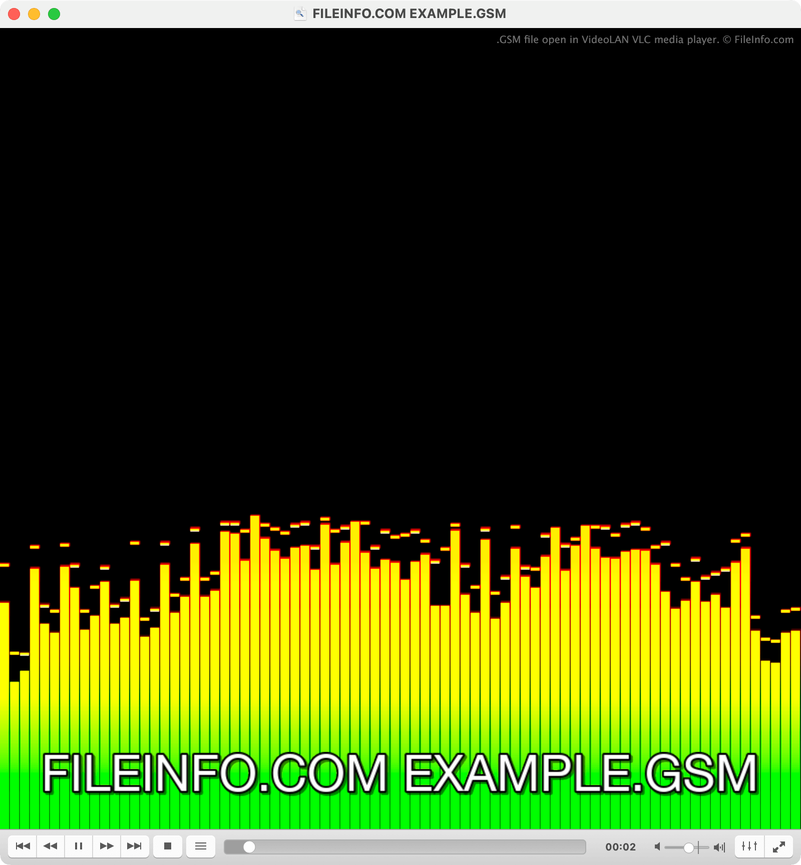
You can open a GSM file with VideoLAN VLC media player or FFmpeg, to play or convert the audio it contains.
如何转换 GSM 文件
VideoLAN VLC media player, NCH Switch, SoX, and FFmpeg can all convert GSM files to more common audio formats. For example, VLC can convert GSM files to the following formats:
可打开 GSM 文件的程序
Graphic Description Language File
| 开发者 | 不适用 |
| 受欢迎程度 |
4.0 | 15 票 |
A GSM file is a 3D object file defined using the Graphic Description Language (GDL), a scripting language used to describe building components and shapes. Several Building Information Modeling (BIM) applications, including Graphisoft Archicad, use GSM files to represent objects, such as doors, windows, furniture, and structural elements within a project.
更多信息
GSM files store object data in a script-based format that defines geometry, materials, and behavior. Because GDL is parametric, users can modify properties such as size, shape, and materials without recreating the object. When a user loads a GSM file into compatible BIM software, the application interprets the GDL script and generates the corresponding 2D and 3D representations of the object within the design environment.
Architects, designers, and BIM professionals who create and manage digital building models are the primary users of GSM files, as they help streamline workflows by enabling reusable, customizable components to be placed across multiple projects. They are often included in object libraries that support efficient and consistent design.
如何打开 GSM 文件
You can open GSM files with Graphisoft Archicad or other BIM applications that support GDL objects. You can import GSM files or place them in a project, where the app will render them as parametric objects.
可打开 GSM 文件的程序
US Robotics GSM Audio File
| 开发者 | US Robotics |
| 受欢迎程度 |
3.9 | 14 票 |
A GSM file is a compressed audio file used by US Robotics modems for transferring voice data over mobile networks. It contains audio data encoded using the Global System for Mobile Communications (GSM) codec, which is optimized for compressing speech data. GSM files are typically used in telecommunication software and devices, such as GSM QuickLink, VoiceGuide, and RapidComm modems.
更多信息
These audio files allow the efficient transmission of voice communications over GSM networks and can also be used for audio faxes. While GSM files are primarily associated with modems, they can be played or converted using various audio software applications that support GSM encoding.
注: Although less common today due to newer technologies and standards, GSM files remain relevant for specific telecommunication applications.
如何打开 GSM 文件
You can open GSM files with several media players, including FMJ-Software Awave Audio, SoX, and VideoLan VLC Media Player. To open a GSM file with VLC Media Player, select Media → Open File.
可打开 GSM 文件的程序
MapViewer Project File
| 开发者 | Golden Software |
| 受欢迎程度 |
3.5 | 10 票 |
Map visualization project created with MapViewer, a spatial analysis program used for creating geographic maps; saves visualization settings (text labels, colors, a legend) as well as references to source data files that are used to generate the map.
更多信息
MapViewer maps are used for overlaying user-specific data on geographic areas. For example, users can generate climate maps, population density maps, or many other types of maps using other data sets. Completed visualizations can be exported to raster graphic formats for publication and presentation.