.WKT 文件扩展名

Well-Known Text Geometry

开发者 Open Geospatial Consortium
受欢迎程度
2.0  |  1 
 

什么是 WKT 文件?

A WKT file describes a vector geometry object in the Well-Known Text (WKT) format. It contains one or more sets of plain text coordinates that describe points, lines, and/or polygons. WKT files can be overlaid on GIS maps to denote areas of interest.

更多信息

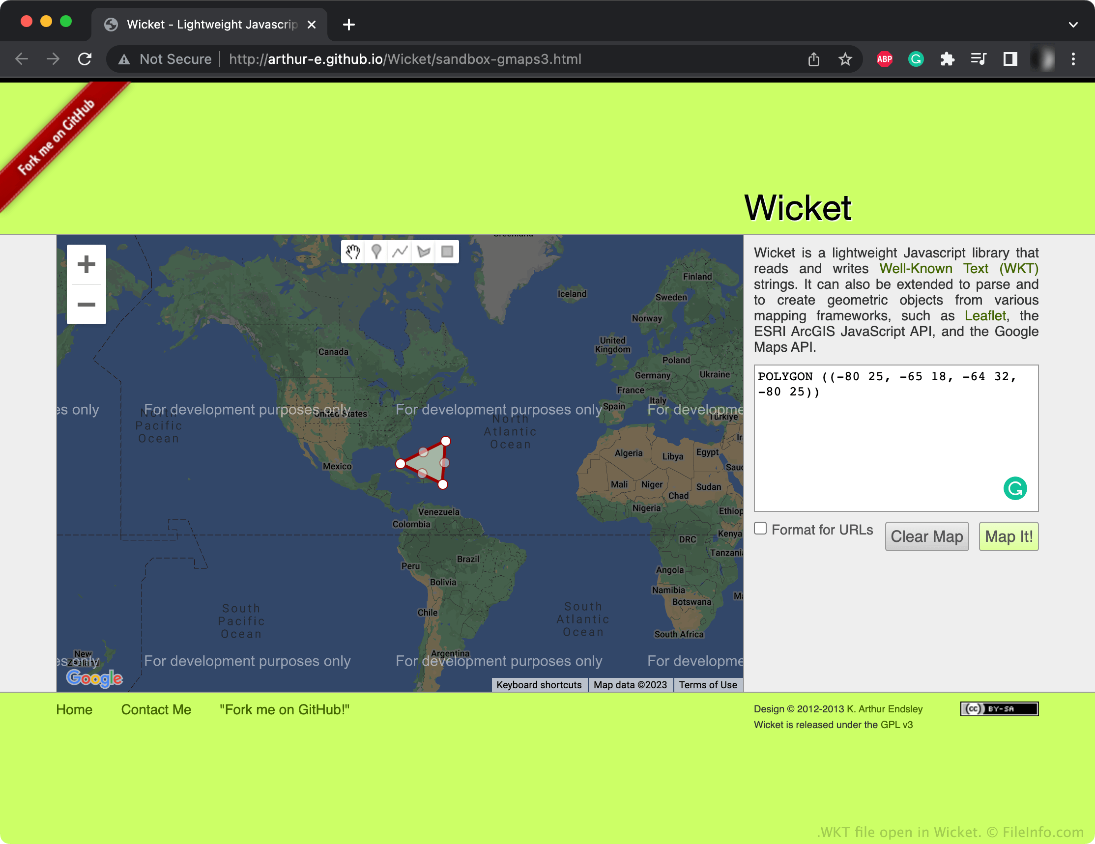
在 Wicket 中打开的 .wkt 文件截图
在 Wicket 中打开的 WKT 文件

The Open Geospatial Consortium (OGC) created the WKT format as part of their Simple Features Access standards. These standards specify common storage and access models for geographic features, especially 2D geometric features. Many GIS programs can import and export files saved in Simple Features Access formats, such as WKT.

Most WKT files contain a series of points, lines, and/or polygons that map areas of interest on an accompanying geographic map. For example, a WKT file might contain polygons that describe the shape of a city's voting districts. These points and shapes are specified in plain text, using number-based coordinates. Geometries can consist of single points, lines, and polygons or multiple points, lines, and polygons linked together.

如何打开 WKT 文件

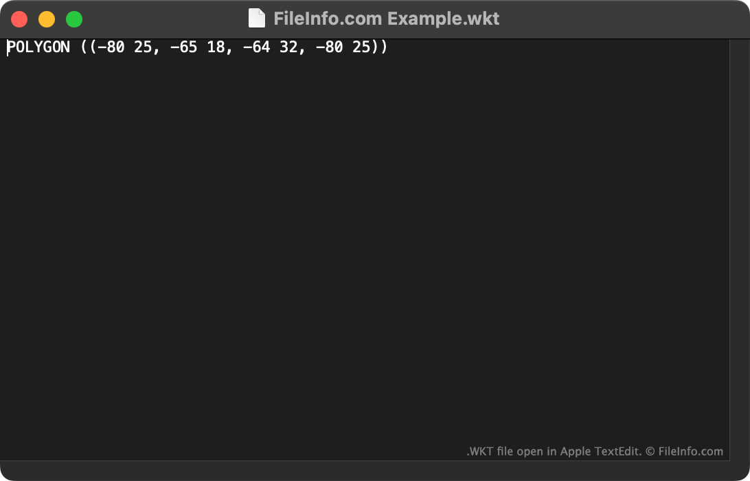
WKT file open in Apple TextEdit

You can open a WKT file with QGIS (multiplatform) or Wicket (Web) to view the geometry it describes. You can also open a WKT file with Microsoft Notepad (Windows), Apple TextEdit (Mac) or any other text editor to view the plain text data it contains.

使用File Viewer Plus打开 400 多种文件格式。免费下载

可打开 WKT 文件的程序

Windows
免费
Mac
免费
Linux
免费
Web
免费
分类: GIS
更新时间: 2023-01-16

验证者 FileInfo.com

FileInfo.com 团队 独立研究了本页面列出的 Well-Known Text Geometry 文件格式和 Mac, Windows, and Linux 应用。 我们的目标是达到 100% 的准确率,并且仅发布我们已验证过的文件类型信息。

如果您想为此页面提出新增或更新建议,请告诉我们