.WKT ファイル拡張子

Well-Known Text Geometry

開発元 Open Geospatial Consortium
人気度
2.0  |  1 
 

WKTファイルとは?

A WKT file describes a vector geometry object in the Well-Known Text (WKT) format. It contains one or more sets of plain text coordinates that describe points, lines, and/or polygons. WKT files can be overlaid on GIS maps to denote areas of interest.

詳細情報

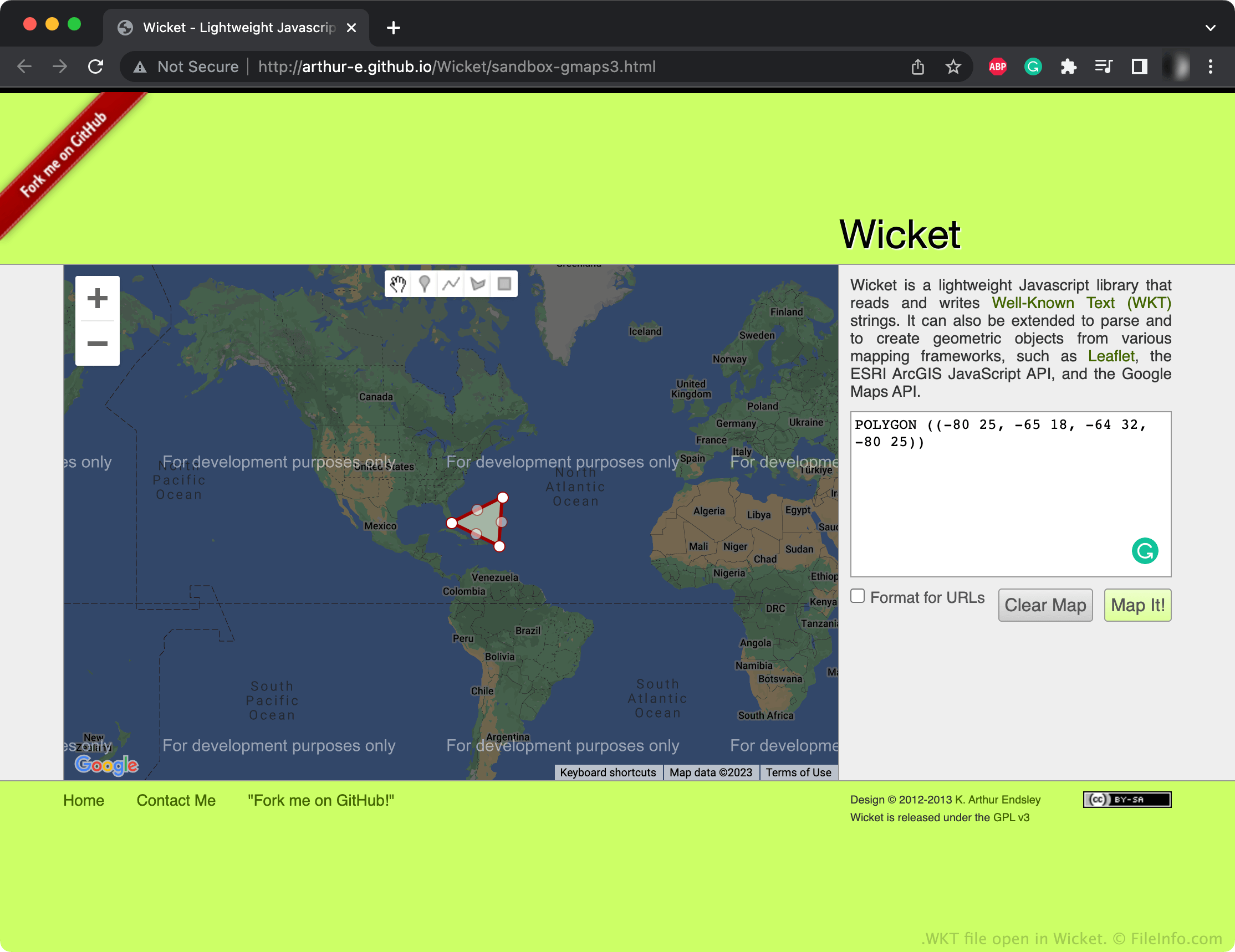
Wicketで開いた.wktファイルのスクリーンショット
Wicketで開いたWKTファイル

The Open Geospatial Consortium (OGC) created the WKT format as part of their Simple Features Access standards. These standards specify common storage and access models for geographic features, especially 2D geometric features. Many GIS programs can import and export files saved in Simple Features Access formats, such as WKT.

Most WKT files contain a series of points, lines, and/or polygons that map areas of interest on an accompanying geographic map. For example, a WKT file might contain polygons that describe the shape of a city's voting districts. These points and shapes are specified in plain text, using number-based coordinates. Geometries can consist of single points, lines, and polygons or multiple points, lines, and polygons linked together.

WKTファイルの開き方

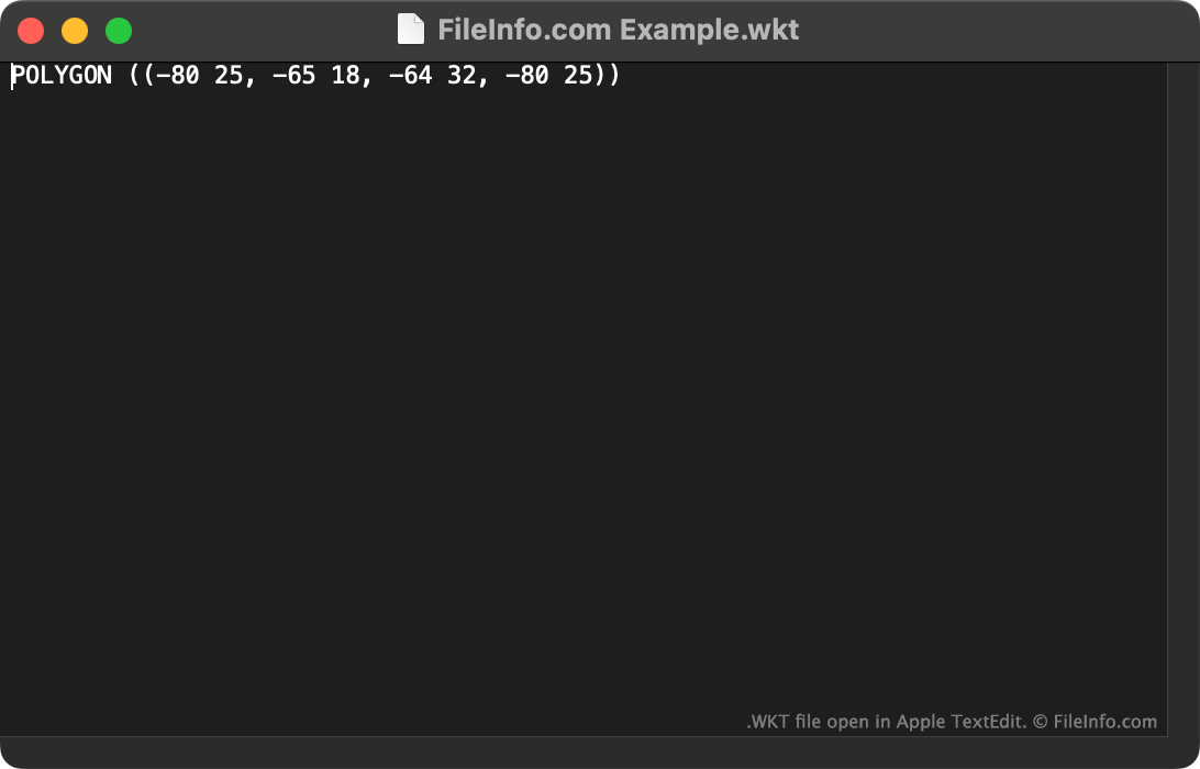
WKT file open in Apple TextEdit

You can open a WKT file with QGIS (multiplatform) or Wicket (Web) to view the geometry it describes. You can also open a WKT file with Microsoft Notepad (Windows), Apple TextEdit (Mac) or any other text editor to view the plain text data it contains.

File Viewer Plusで400種類以上のファイル形式を開けます。無料ダウンロード

WKTファイルを開くプログラム

Windows
無料
Mac
無料
Linux
無料
Web
無料
カテゴリ: GIS
更新日: 2023-01-16

検証者 FileInfo.com

FileInfo.comチーム は、このページに掲載されているWell-Known Text Geometryファイル形式とMac, Windows, and Linuxアプリについて独自に調査しました。 私たちの目標は100%の正確性であり、検証済みのファイルタイプに関する情報のみを公開しています。

このページへの追加や更新をご提案いただける場合は、お知らせください。