

.WKT 파일 확장자
Well-Known Text 기하 도형
| 개발사 | Open Geospatial Consortium |
| 인기도 |
2.0 | 1 표 |
WKT 파일이란 무엇인가요?
WKT 파일은 Well-Known Text (WKT) 형식의 벡터 기하 도형 객체를 설명합니다. 이 파일에는 점, 선 및/또는 다각형을 설명하는 하나 이상의 일반 텍스트 좌표 집합이 포함되어 있습니다. WKT 파일은 관심 영역을 나타내기 위해 GIS 지도에 겹쳐 표시할 수 있습니다.
추가 정보
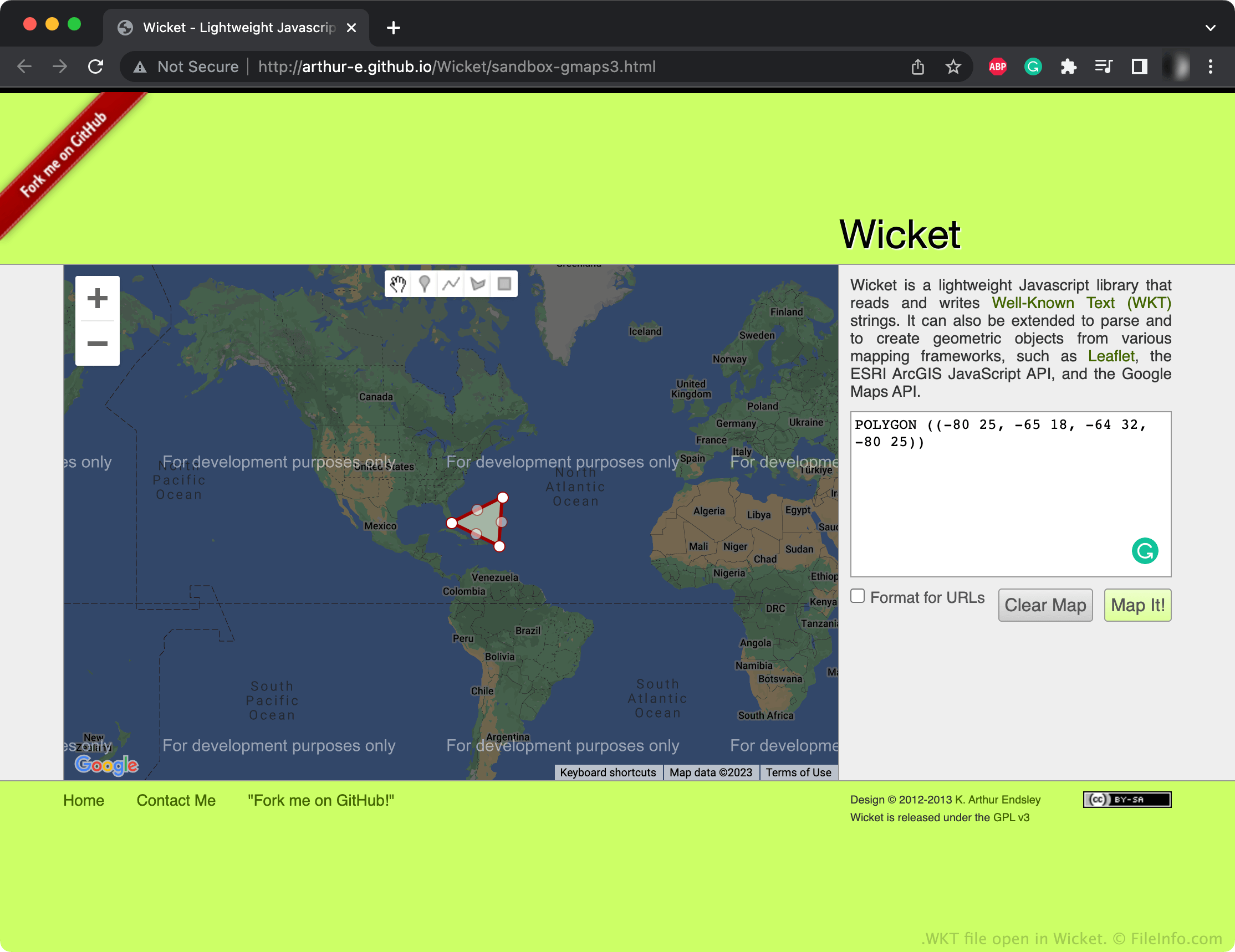
Open Geospatial Consortium (OGC)은 Simple Features Access 표준의 일부로 WKT 형식을 만들었습니다. 이 표준은 지리적 피처, 특히 2D 기하 피처를 위한 공통 저장 및 액세스 모델을 지정합니다. 많은 GIS 프로그램은 WKT와 같은 Simple Features Access 형식으로 저장된 파일을 가져오고 내보낼 수 있습니다.
대부분의 WKT 파일에는 함께 제공되는 지리 지도에서 관심 영역을 표시하는 일련의 점, 선 및/또는 다각형이 포함되어 있습니다. 예를 들어 WKT 파일에는 한 도시의 투표구 모양을 설명하는 다각형이 포함될 수 있습니다. 이러한 점과 도형은 숫자 기반 좌표를 사용하는 일반 텍스트로 지정됩니다. 기하 도형은 단일 점, 선, 다각형 또는 서로 연결된 여러 점, 선, 다각형으로 구성될 수 있습니다.
WKT 파일을 여는 방법
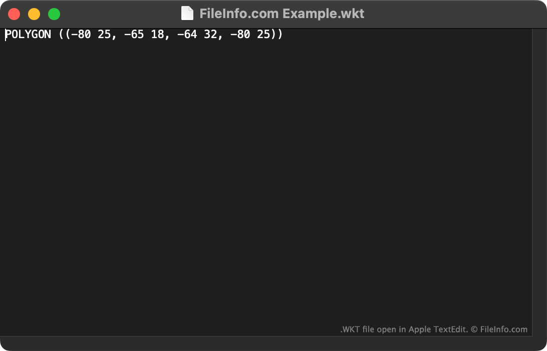
WKT 파일을 QGIS(다중 플랫폼) 또는 Wicket(Web)에서 열어 파일이 설명하는 기하 도형을 볼 수 있습니다. 또한 Microsoft Notepad(Windows), Apple TextEdit(Mac) 또는 기타 텍스트 편집기에서 WKT 파일을 열어 포함된 일반 텍스트 데이터를 볼 수 있습니다.