

.GPKG 파일 확장자
GeoPackage 데이터베이스
| 개발사 | Open Geospatial Consortium |
| 인기도 |
4.3 | 3 표 |
GPKG 파일이란 무엇인가요?
GPKG 파일은 GeoPackage 데이터베이스 파일입니다. 래스터 및 벡터 형식으로 저장할 수 있는 지리 공간 데이터를 지정하는 데이터 테이블이 포함되어 있습니다. 예를 들어 GPKG 파일에는 다양한 축척으로 표현된 지역의 래스터 지도 세트, 해당 지도에 표시할 지형지물을 정의하는 벡터 오버레이 세트, 다양한 메타데이터가 포함될 수 있습니다.
추가 정보
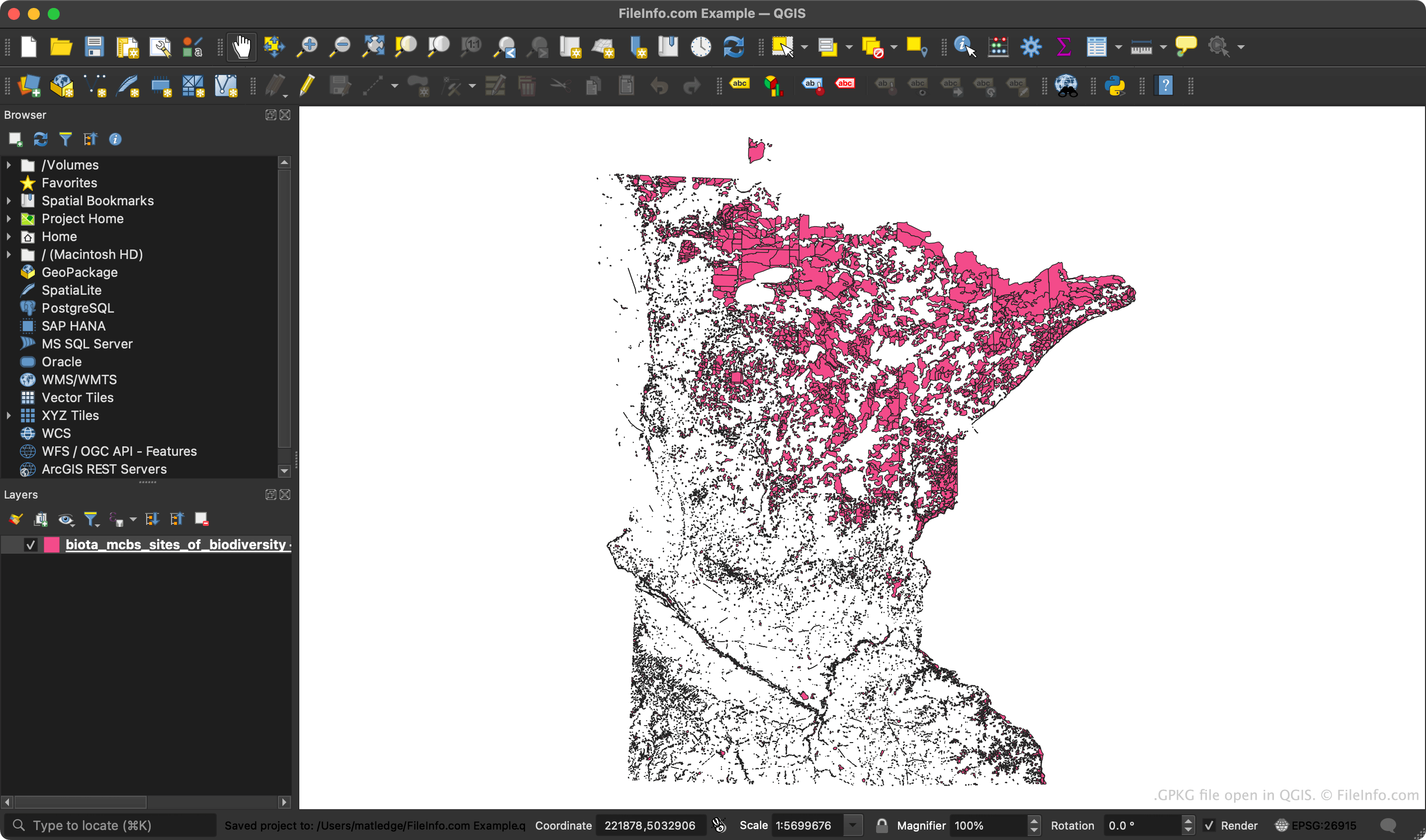
2014년에 Open Geospatial Consortium(OGC)은 GeoPackage 또는 GPKG 파일 형식을 만들었습니다. 이 형식은 래스터 및 벡터 데이터를 모두 지원하는 동시에 효율적으로 디코딩할 수 있도록 설계되었으며, 가벼운 모바일 및 웹 소프트웨어에서 사용할 수 있습니다.
각 GPKG 파일은 여러 데이터 테이블로 구성된 SQLite 3 데이터베이스입니다. 타일 테이블에는 타일 피라미드에 저장된 래스터 지도가 포함되어 있으며, 타일 피라미드는 특정 지리적 영역을 더 높은 해상도로 확대하는 데 사용됩니다. 이러한 지도는 일반적으로 .PNG 또는 .JPEG 파일입니다. 피처 테이블에는 해당 지도 위에 겹쳐 표시되는 벡터 데이터가 포함되어 특정 지리적 지형지물을 구분합니다. GPKG 파일에 포함되는 다른 유형의 테이블로는 메타데이터 테이블, 속성 테이블, 확장 테이블이 있습니다.
GPKG 파일을 여는 방법
GeoPackage 형식을 지원하는 다양한 지리 공간 프로그램으로 GPKG 파일을 열 수 있습니다. 예를 들어 NGA GeoPackage Viewer (Web), QGIS (멀티플랫폼), GDAL (멀티플랫폼), ESRI ArcGIS (Windows), GeoServer (멀티플랫폼) 등 여러 프로그램으로 GPKG 파일을 열 수 있습니다.